 Nederlands
 Dansk
Dansk Österreichisch
 Po Polsku
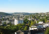


Sieg Spring
In the south part of the Rothaar Mountains is the Eisenstraße situated, as part of the Landesstraße 722. It is special because, in the surrounding of the road are the springs of the rivers Eder, Sieg and Lahn.
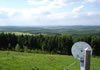
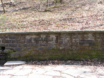
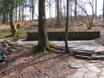
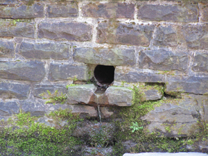
The river Sieg arises in the (historical) Siegerland at the northwest slope of the 650,4m high Jägerhain on the Ederkopf-Lahnkopf-back on a height of 603m above sea level.The walled Sieg spring is situated around 400m northwest of the Jägerhain-summit and circa 1,2 km southeast of the Aukopf. Nearby are two further springs, in only 3km south (Lahn) respectively in northwestern (Eder) direction. Immediately at the Sieg spring is a forest nature trail.
Numerous hiking paths, like the 154,8km long Rothaarstein, line the spring area and are ideal for extensive hikes in this wooded landscape.
On the 2nd of Juli, Sunday (between 9am and 6pm), the bicycle day Siegtal Pur takes place in the Sieger Valley. On this Sunday, one can cycle from the Sieg spring near Netphen to Siegburg. The area is closed for cars and thus free to enjoy inline-skating, jogging and hiking as well as cycling on around 130 km.
The route is altogether 128,8km long and starts on circa 600m above sea level and ends near Siegburg on around 20m above sea level.
Information about Siegtal Pur:
http://www.siegtal.com


